Rose State College Now Offering Mapping With Drones Class Published December 21, 2021
 Participants will gain new skills and knowledge in flight mapping and photography
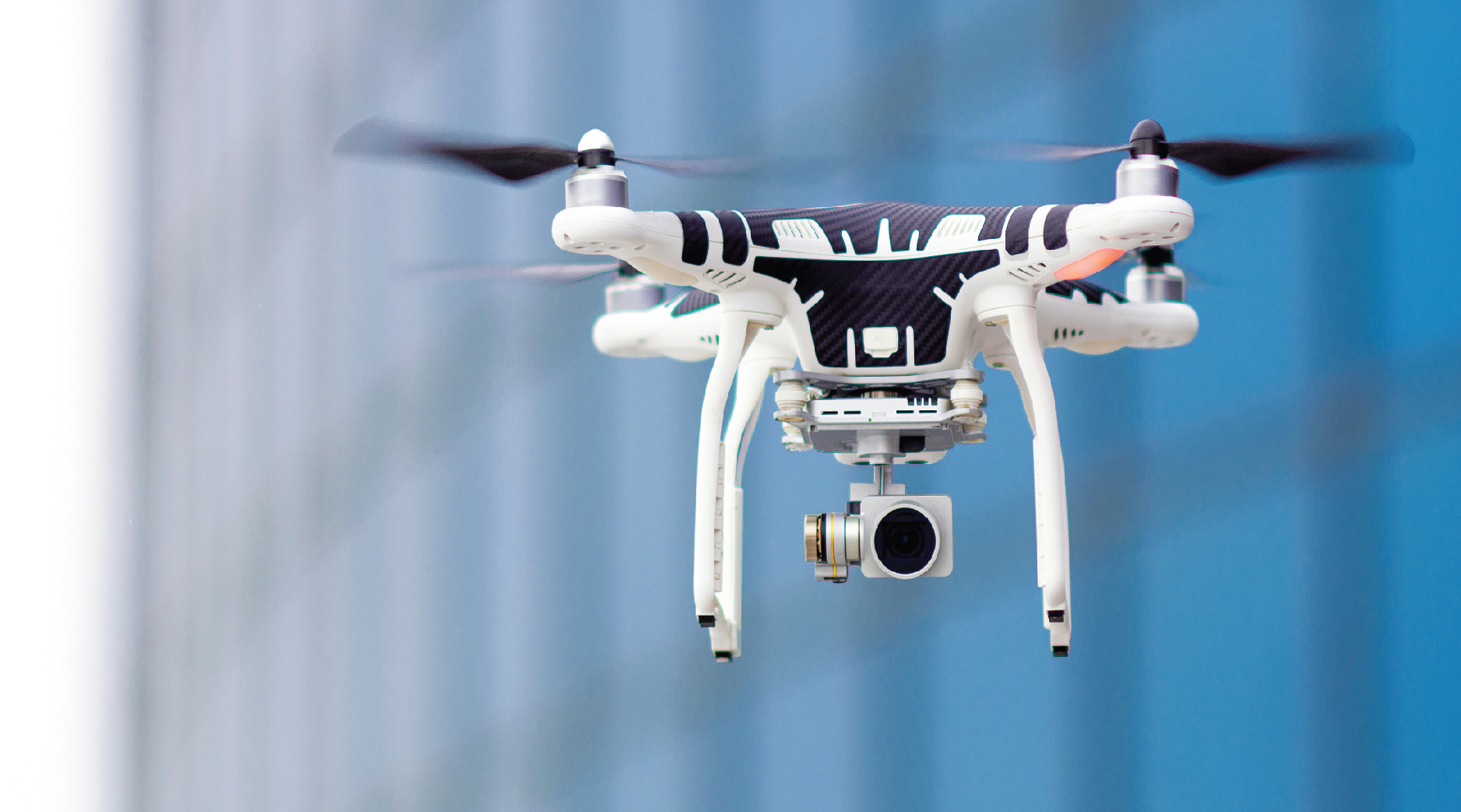
Rose State College is now offering a Mapping with Drones class as part of its Workforce Development and Training Program. The two-day intensive training course will benefit both new professionals and amateur drone pilots who want to learn the basics of aerial photography, videography and mapping.
Participants will improve their knowledge and skills in flight planning and preparation, safety, airborne photography and videography, 2D/3D mapping, as well as pairing mapping software with drone hardware.
“With drone technology and usage increasing at a rapid pace, it’s imperative that drone pilots, both amateur and professional, continue to increase their skills and knowledge as a matter of safety and security in the skies as well as on the ground,” Rose State College Associate Vice President of Academics Travis Hurst said. “And not only is the class informative, but it’s a great way to get hands-on experience in piloting the drone and improving flight and mapping skills.”
Professionals in construction, agriculture, surveying, public safety, real estate, energy and photography can all benefit from this introductory course. In accordance with Federal Aviation Administration (FAA) regulations for operating drones, students must be at least 16 years old and physically and mentally able to safely fly a drone.
The class will be held from 8 a.m. to 5 p.m. on Tuesday, Jan. 4 and Wednesday, Jan. 5, 2022, in the Science and Math Building at Rose State College in Midwest City. For more information, visit https://www.trainingatrose.com/training/drone-training-at-rose/
Upcoming Events
Latest News

Tuesday, April 16, 2024

Friday, April 12, 2024

Friday, April 12, 2024