Rose State College Offers New Dates For Drone Mapping, Photography And Videography Class Published February 7, 2022
 With additional classes offered in the coming months, participants will gain new skills and knowledge in the world of drones
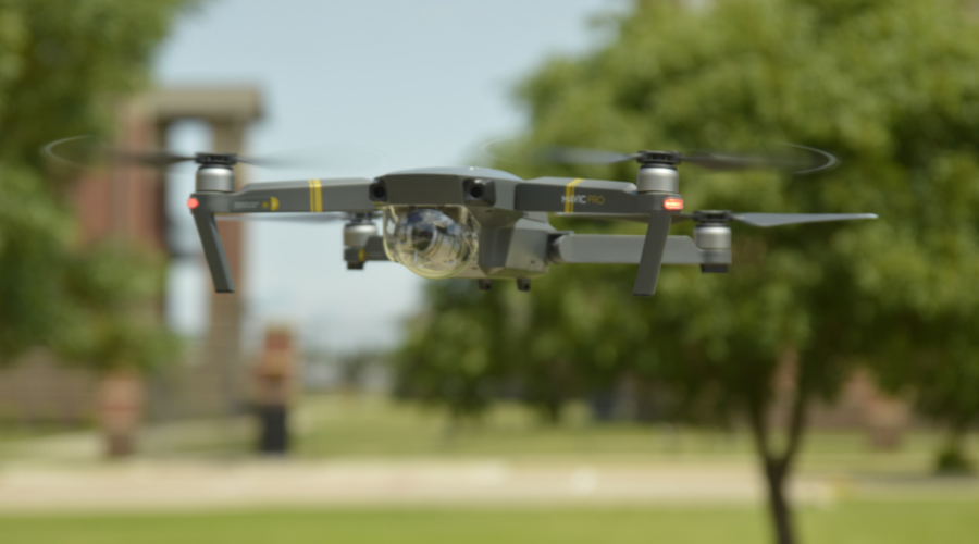
MIDWEST CITY (Jan. 31, 2022) – Rose State College is adding new dates for its Drone Mapping, Photography and Videography class in the coming months. The two-day intensive training course benefits both new professionals and amateur drone pilots who want to learn the basics of aerial photography, videography and mapping.
Participants will improve their knowledge and skills in flight planning and preparation, safety, airborne photography and videography, 2D/3D mapping, as well as pairing mapping software with drone hardware.
“With drone technology and usage increasing at a rapid pace, it’s imperative that drone pilots, both amateur and professional, continue to increase their skills and knowledge as a matter of safety and security in the skies as well as on the ground,” Rose State College Associate Vice President of Academics Travis Hurst said. “And not only is the class informative, but it’s a great way to get hands-on experience in piloting the drone and improving flight and mapping skills.”
Professionals in construction, agriculture, surveying, public safety, real estate, energy and photography can all benefit from this introductory course. In accordance with Federal Aviation Administration (FAA) regulations for operating drones, students must be at least 16 years old and physically and mentally able to safely fly a drone.
Nicole Whisenhunt, CEO of Queen Drone Dronography, one of the first participants in the January Drone Mapping class, recently decided to make a career change and follow her interest in drones. Already armed with her FAA Remote Pilot Part 107 certification, Whisenhunt wanted additional training and hands-on experience, which led her to Rose State’s new Drone Mapping class.
“There is no school here in Oklahoma that is teaching you the mapping part, so it’s one-of-a- kind and really going to help a lot of individuals take the initiative and the right steps,” explained Whisenhunt.
Class participants will receive three months of complimentary access to the DroneDeploy software – a $300 value.
The two-day classes are scheduled for Feb. 11-12, March 11-12, and April 8-9, 2022, in the Science and Math Building at Rose State College in Midwest City. Learn more about the Drone Mapping class and future offerings at https://bit.ly/RSC2PRDroneMapping.
Upcoming Events
Latest News

Tuesday, April 16, 2024

Friday, April 12, 2024

Friday, April 12, 2024